AUSTRALIA

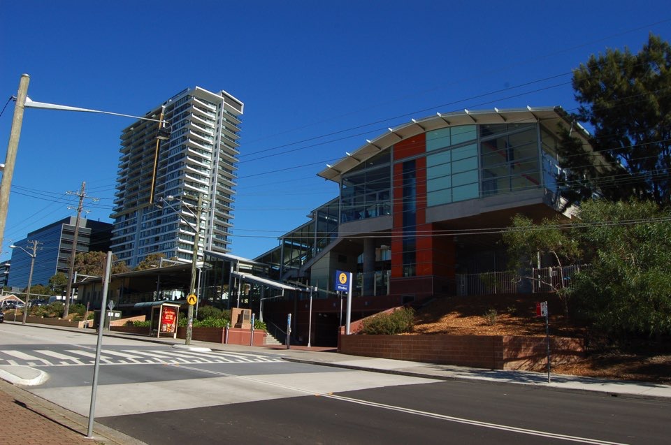
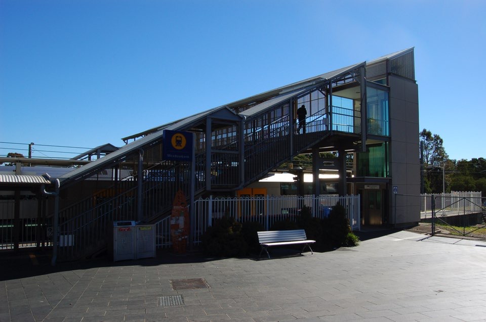
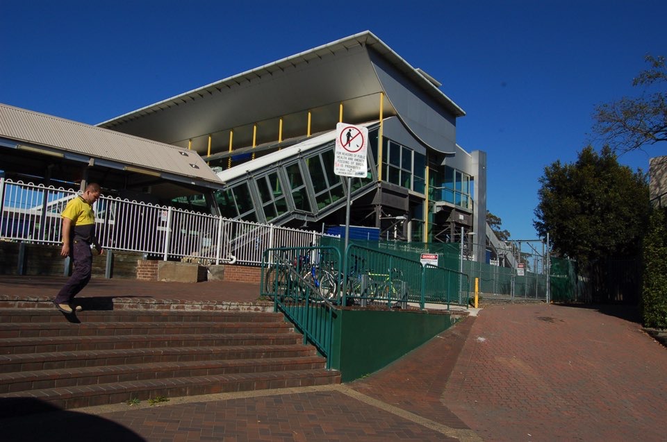
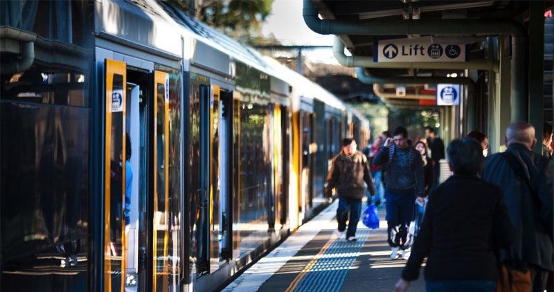
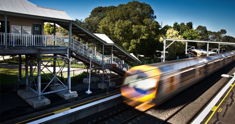
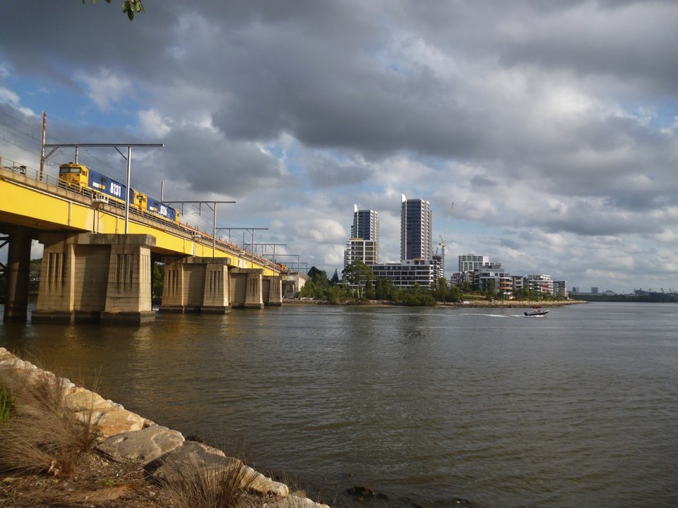
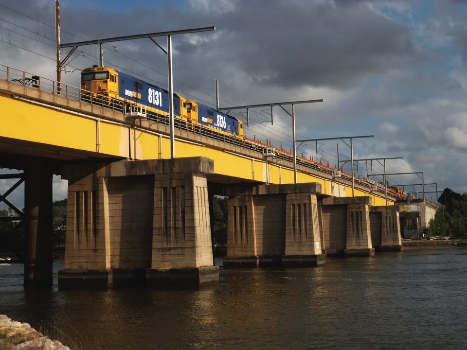
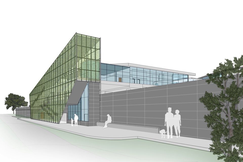
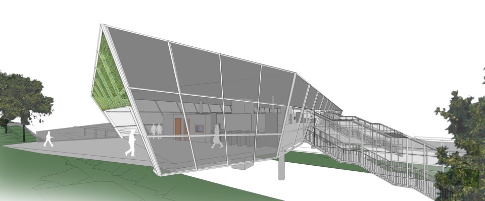
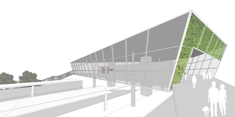
Northern Sydney Freight Corridor (NSFC) – Stage 2A

Owner/Client:

Transport for NSW

Cost of works:

AUS$ 1,600 million

Period of Activity:

2014 - 2014

The Northern Sydney Freight Corridor (NSFC) Program is a joint Australian and NSW Government initiativem to improve the capacity and reliability of freight trains between Strathfield and Newcastle with an extension of 155km. Enhanced capacity of the rail freight network through the NSFC Program will allow rail to be more competitive with road transport for certain types of freight and improving reliability of passenger services. Geodata was appointed as Technical Advisor of improve capacity of rail systems along Australia’s seaboard, the project definition design for 3 sections of this project: Lower Main North Quadruplication Lite, Rhodes- West Ryde Quadruplication and Berowra - Hawkesbury River Triplication (total length of 19km including a 6.3km-long tunnel).

— Project Description:

NFSC Stage 2A includes: Lower Main North Quadruplication Lite (2.4km); Rhodes to West Rhyde Section Quadruplication (3.6km); Berowra to Hawkesbury River Section Triplication (13km). The Project also includes the following works: 5 stations requiring modifications and adapted to new rail configuration (Rhodes, Meadowsbank, West Ryde, Cowan, Hawkesbury River), 6 complex bridges and overbridges (Parramatta bridge, Second John Witton bridge, Bank Street overbridge, Victoria bridge, F3 Motorway ramp, Pacific Highway overbridge), a long and complex tunnel (6,3km) with diameter of 11.2m to be excavated by TBM and duplicated in a second construction stage. The project included complete track definition, OHW system, signaling, communication, HV and LV definition. All civil works and trackworks will be executed in presence of railway traffic, so a particular attention is paid on definition of construction phases.

— Description of Services:

Technical Advisor for the Project Definition Design for the 3 sections including all civil works (tunnel, bridges, deflection wall, drainage, etc.), architecture, landscape and urban design, permanent way, MEP, HV-LV electrical works, OHW, signaling and train control, geotechnical, hydrological investigations, existing structural condition survey, identify and investigate environmental risks and mitigation measures. The design utilized a high definition aerial survey (LIDAR) and a complete risk assessment for tunnel functional definition. The Project Definition Design included a detailed environmental assessment documentation.

GEODATA fornisce soluzioni sostenibili e ad alto valore aggiunto per progetti in sotterraneo che soddisfano le crescenti esigenze di trasporto e di sviluppo sostenibile.

Certificazioni

GEODATA è certificata

  • ISO 9001:2015
  • ISO 14001:2015
  • ISO 45001:2018

GEODATA S.p.A.

  • Corso Bolzano 14
    10121 Turin - Italy
  • +39 011.58.10.611
  • +39 011.59.74.40
  • Questo indirizzo email è protetto dagli spambots. È necessario abilitare JavaScript per vederlo.

© 2022 GEODATA SpA - P.IVA 10132770016 | GEODATA Engineering SpA - P.IVA 04639280017 - All rights reserved
Privacy Policy | Cookie Policy | Company details | GEODATA Webmail | Credits