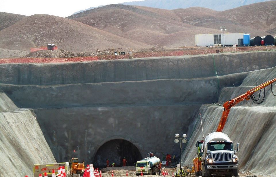
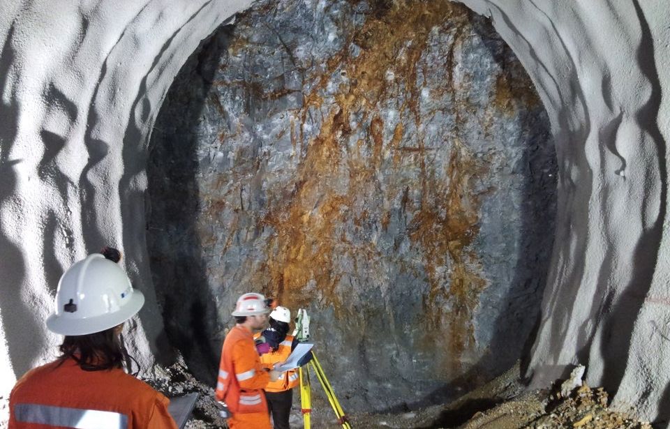
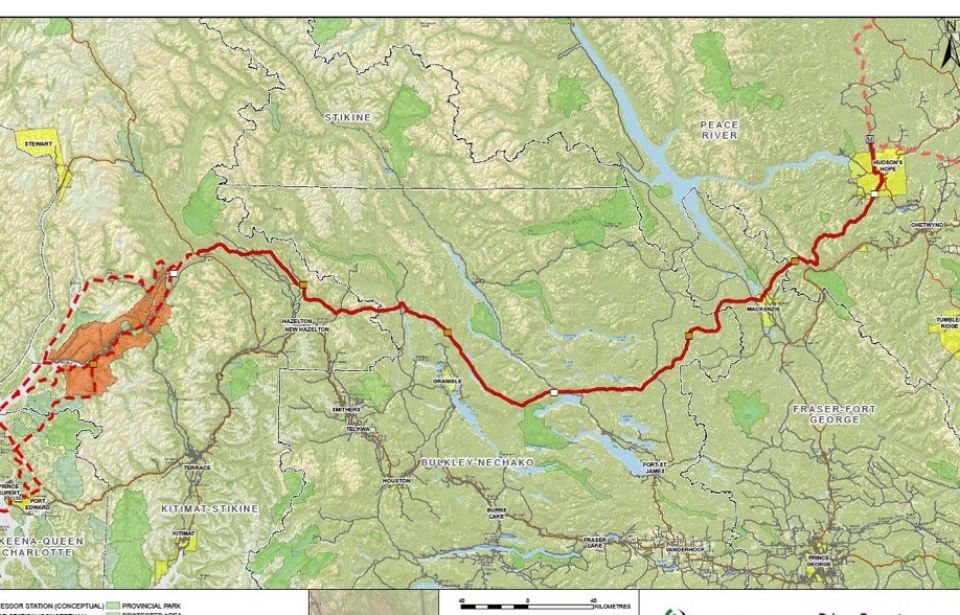
Professsionals with different training and work experience enjoy GEODATA; they make daily use of their vast expertise and knowledge to solve complex engineering problems, and have access to in-house geological, hydrogeological and geotechnical/geomechanical studies related to over 1.500 projects realized worldwide.
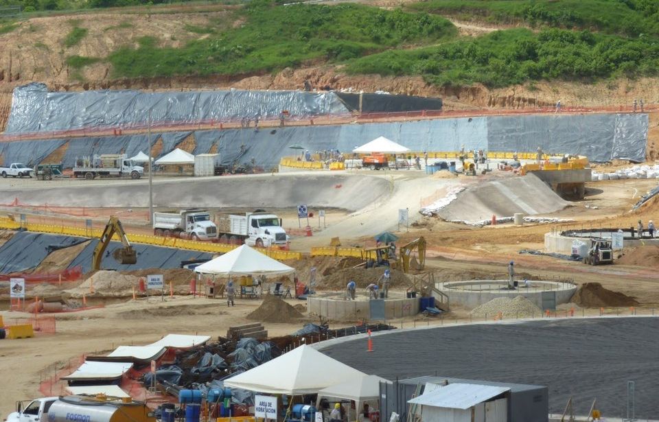
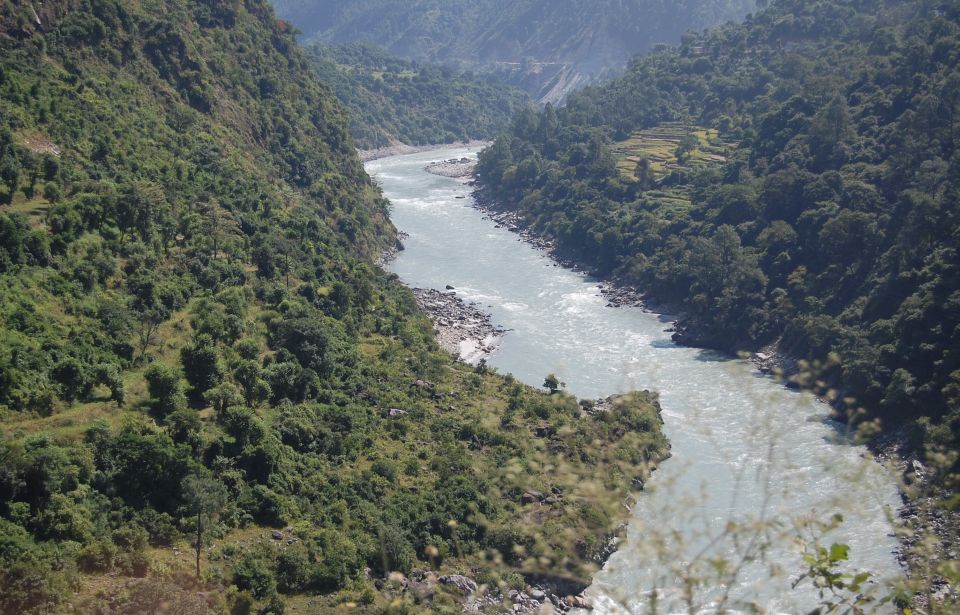
During investigation planning and study development, GEODATA experts show a fundamental respect of the environment and all its components, but also take account of natural hazards.
Their mission is to put into practice the most recent techno/scientific methods, while constantly interacting with the most renowned research groups.
EXPERTISE

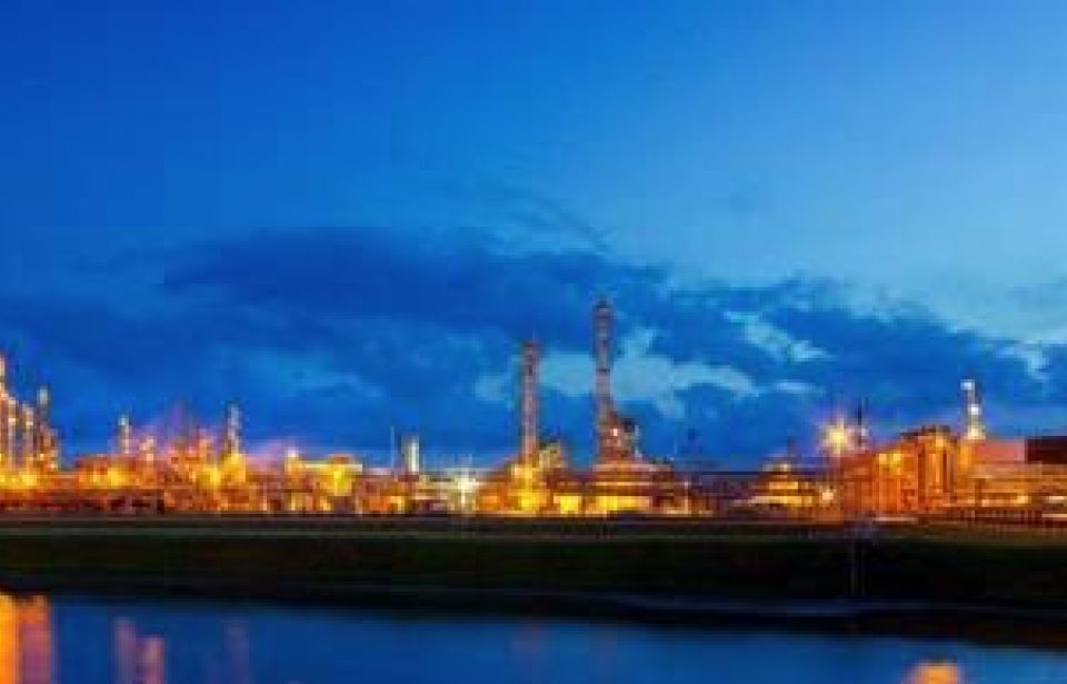
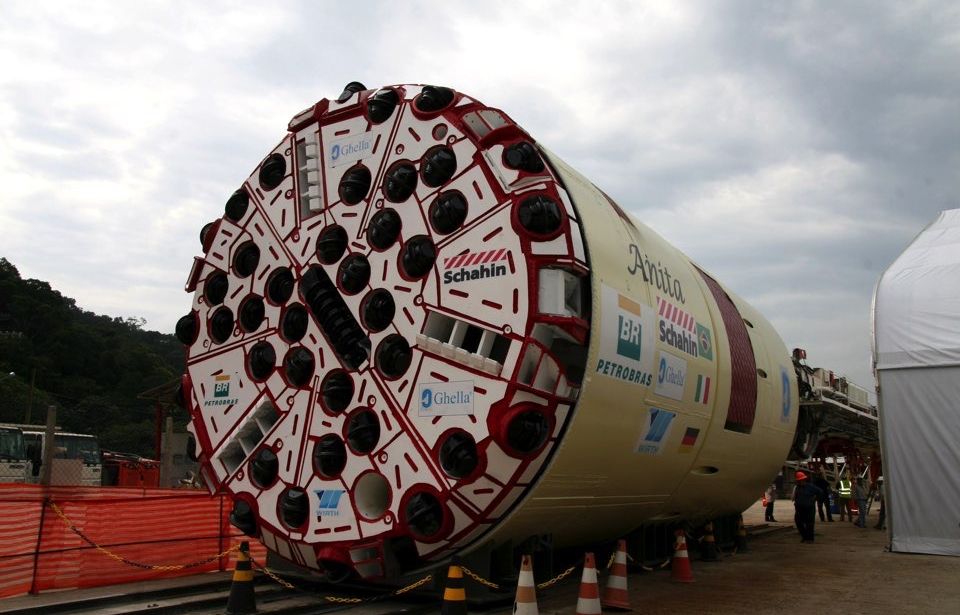
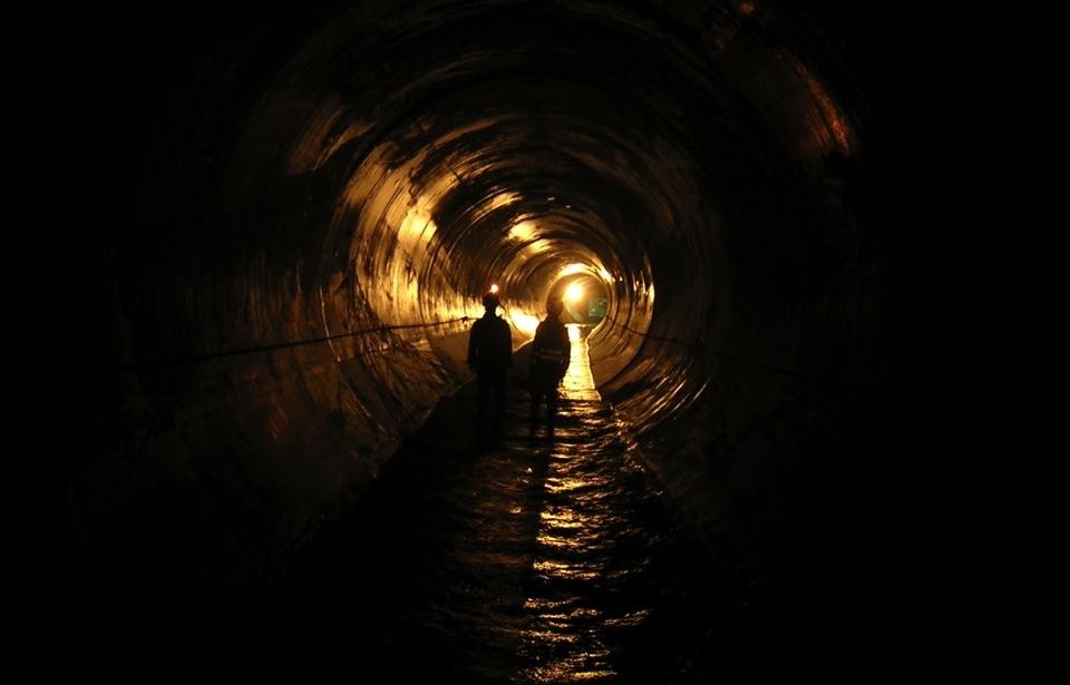
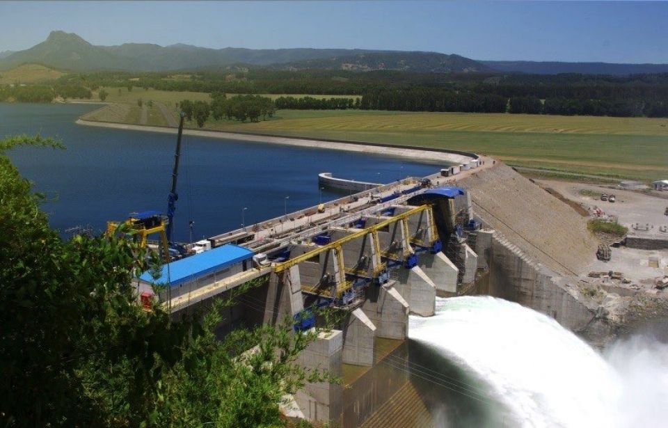
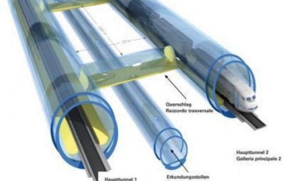
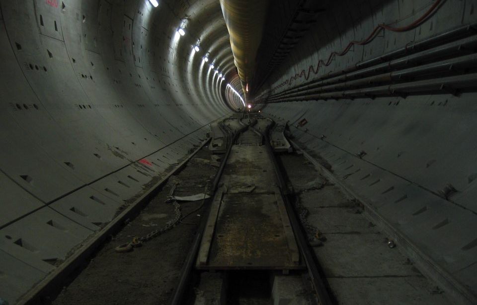
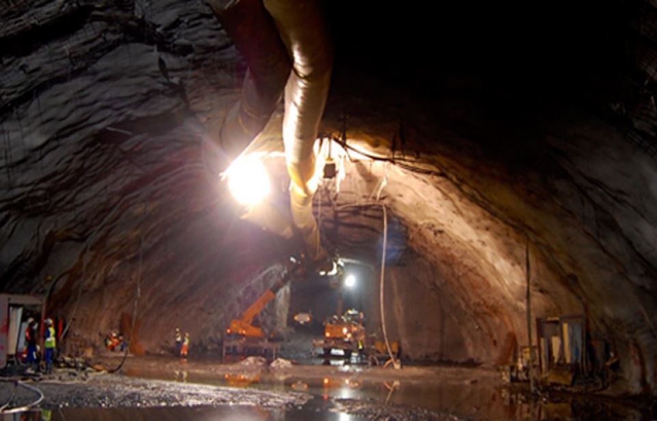
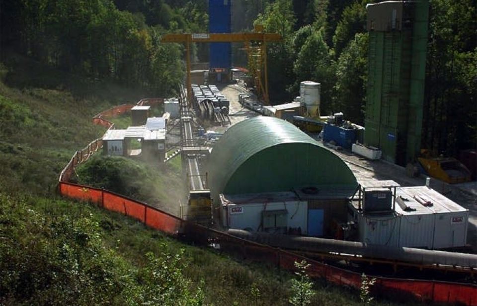
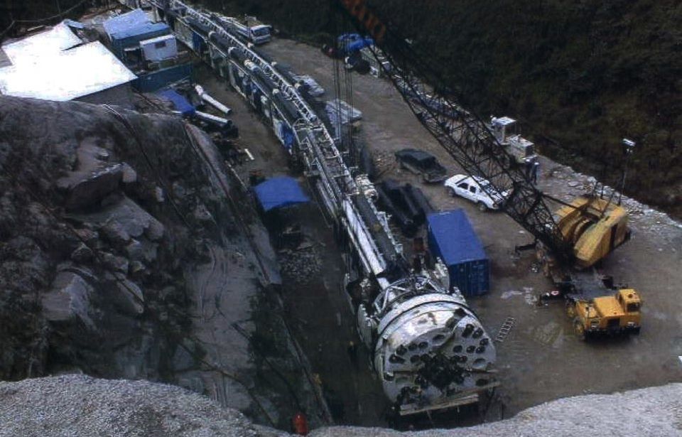
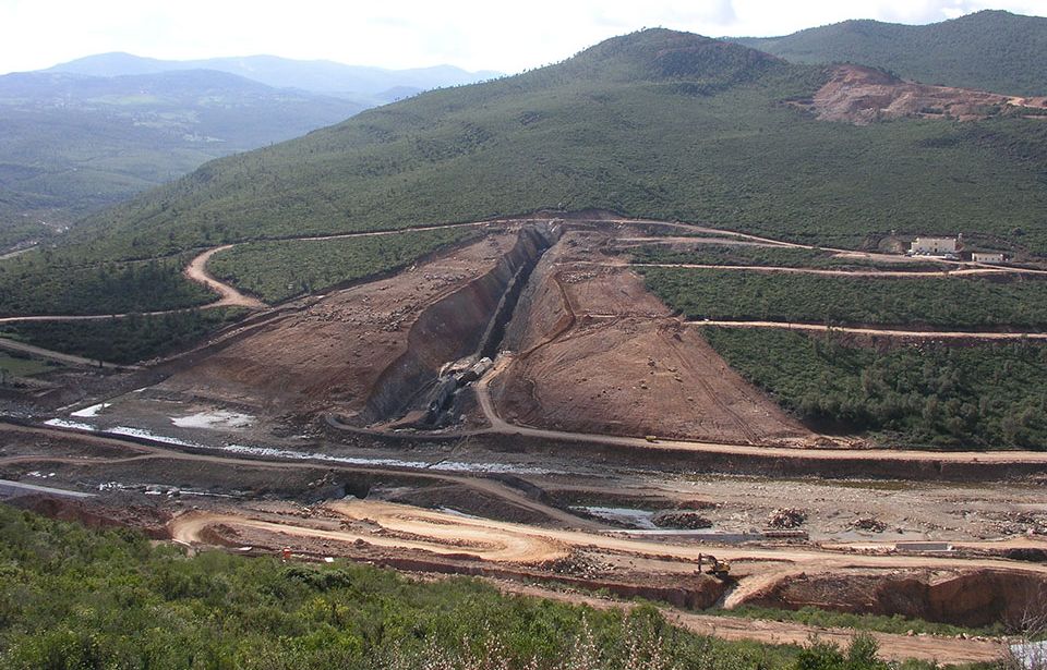
GEODATA, a provider of sustainable and value-added solutions for underground projects to meet the ever-increasing demands of transportation and sustainable development.
© 2022 GEODATA SpA - P.IVA 10132770016 | GEODATA Engineering SpA - P.IVA 04639280017 - All rights reserved
Privacy Policy | Cookie Policy | Company details | GEODATA Webmail | Credits
Credits
Website design and construction
vg59* Progetti Multimediali
Company details
GEODATA SpA
Corso Bolzano 14 - 10121 Torino
P.I. 10132770016
REA TO-1108130
Capitale sociale i.v. 6.612.840€
PEC: This email address is being protected from spambots. You need JavaScript enabled to view it.
GEODATA ENGINEERING SpA
Corso Bolzano 14 - 10121 Torino
P.I. 04639280017
REA TO-648000
Capitale sociale i.v. 3.469.700€
PEC: This email address is being protected from spambots. You need JavaScript enabled to view it.
Per la fatturazione elettronica: This email address is being protected from spambots. You need JavaScript enabled to view it.